You’ve hit your search limit
Start your free trial to keep exploring full traffic and performance insights.
Get StartedAnálisis de la app Washington Pocket Maps para 16 de mayo
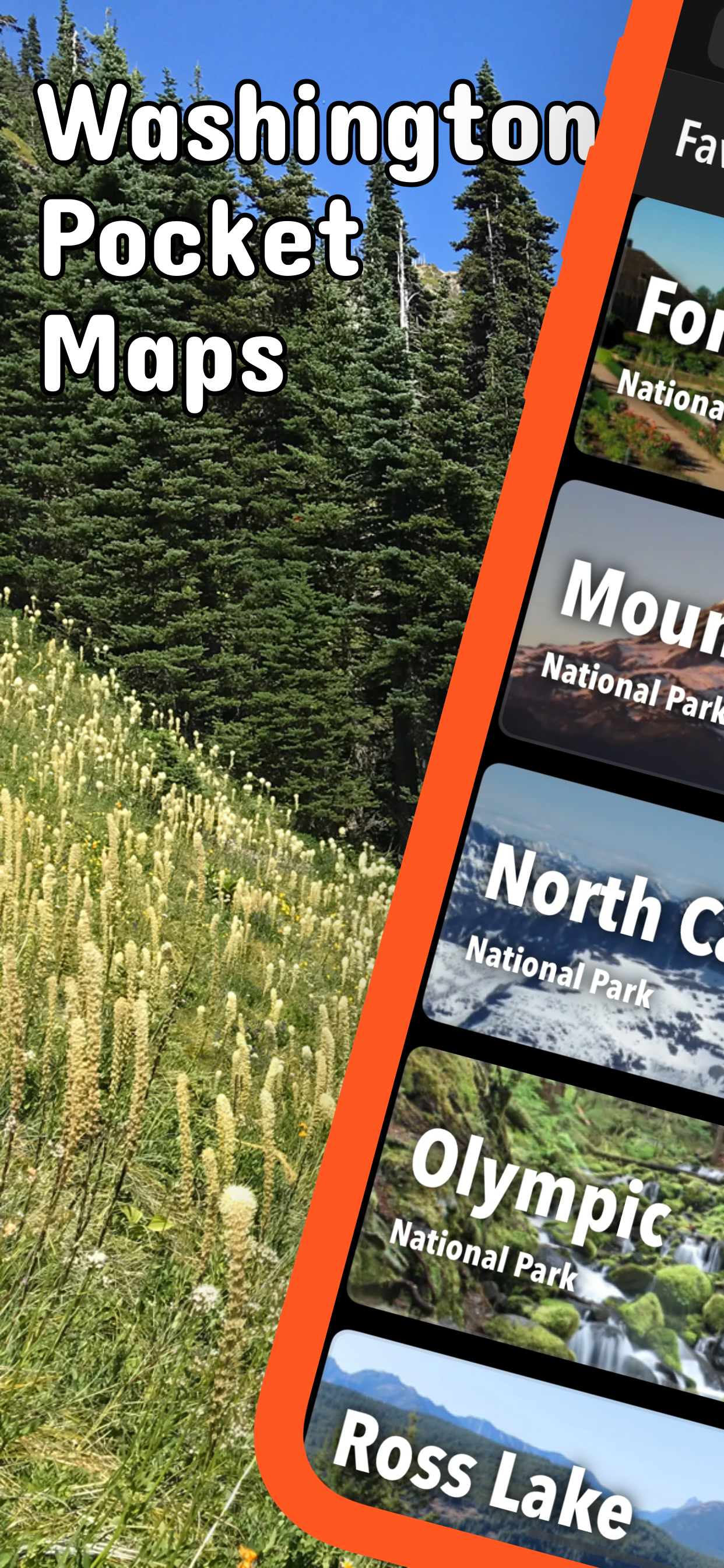
Washington Pocket Maps
- Alex Gugel
- App Store de Apple
- Gratis
- Viajes
Be prepared! Plan your next trip to one of the great Washington parks. Download maps and guides before you venture into the Wi-Fi free wilderness.
Discover
- 90+ national parks, state parks, monuments, forests
- 180+ neatly folded maps by the National Park Service, Bureau of Land Management, United States Forest Services, and other agencies.
- Motor Vehicle Use Maps (MVUM), Motor Vehicle Travel Maps (MVTM) and visitor maps for Texas national forests.
- 1,700+ campgrounds and campsites
- 2,800+ trails and trailheads
- 58,000+ points of interests
Plan
- Download maps, park brochures, and newspapers. These downloads are ready when you are offline and off the grid in the great outdoors.
- Download arbitrary map sections as offline packs.
- Photo galleries, panorama views.
- Share links to parks and maps with friends
Have fun
- GPS and GPX support: record your hikes, import GPX routes, tracks and waypoints for your hiking trails.
- Detailed national park information: alerts, news, visitor centers, campgrounds, driving directions, weather.
- Open your favorite maps app to get a route to the selected park.
- Current weather conditions, easy access to multi-day forecasts, sunrise and sunset times.
- Push notifications for park alerts, park news, weather warnings
So download maps and guides for:
Chopaka Lake and Chopaka Mountain
Columbia River Gorge
Colville
Ebey's Landing
Fort Vancouver
Gifford Pinchot
Goat Rocks
Idaho Panhandle
Klondike Gold Rush
Lake Chelan
Lake Roosevelt
Lewis & Clark
Minidoka
Mount Adams
Mount Rainier
Mount St Helens
Mt. Baker-Snoqualmie
Nez Perce
North Cascades
Okanogan
Olympic
Ross Lake
San Juan Island
Wenatchee
Whitman Mission
There are additional useful maps and brochures for many Washington state parks, Sno-Parks and mountain bike areas like
Ahtanum, Albian Hill, Alpine Baldy, Blanchard, Blewett Pass, Bonaparte, Boulder Cave, Canyon Creek, Capitol, Cherry Valley, Clear Lake, Cougar, Crystal Springs, Deer Creek Nordic, Dockton, Duthie Hill, Echo Ridge, Elbe Hills and Tahoma, Elk Heights, Fishtrap, Green Mountain and Tahuya, Henry's Ridge, Kachess Ridge, Liberty, Middle Fork Snoqualmie, North Fork Chewelah Creek, North Mountain, Palmer Mountain and Split Rock, Paradise Valley, Raging River, Summit Ridge, Swan Creek, Teanaway, Twenty-Five Mile Creek, Twin Lakes, Walker Valley, Yacolt Burn
LEGAL
Terms of Use: https://www.icoat.de/pocketmaps/terms
Privacy Policy: https://www.icoat.de/pocketmaps/privacy
Clasificación de tiendas
El Store Rank se basa en múltiples parámetros establecidos por Google y Apple.
Todas las categorías en
Estados Unidos--
Viajes en
Estados Unidos--
Principales competidores & aplicaciones alternativas
Aplicaciones con una alta probabilidad de ser utilizadas por los mismos usuarios, desde la misma tienda.
Olympic National Park GPS Tour
Mt. Rainier National Park Tour
Pacific Northwest Forests
Saguaro National Park Guide
mayo 16, 2026