


7月17日的map-creator应用程序分析

map-creator
- Kilian Eisenegger
- Apple 应用商店
- 付费
- 照片与视频
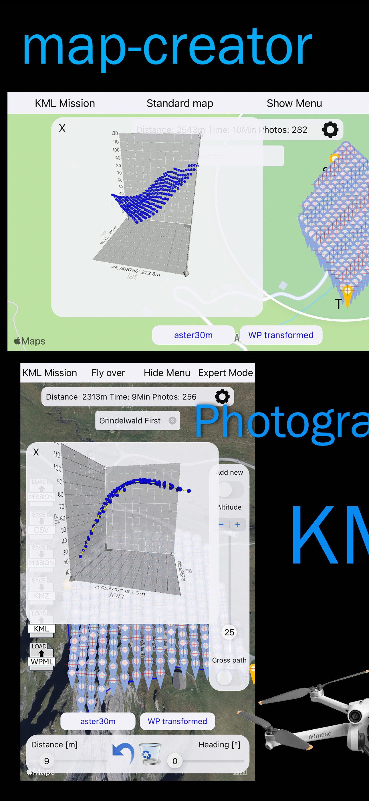
Photogrammetry direct path mission AGL grid creator
You can create and edit the mission waypoints on the map. Save and load your mission in the iCloud in CSV format.
KML export for Google maps and map-creator import (high res elevation for all waypoints)
KMZ export for DJI Pilot and DJI Fly
CSV export for hdrpano, Litchi and Litchi Pilot
KML import to add precise AGL for any provider
KMZ WPML import from DJI Pilot 2, DJI Fly or any other provider to add precise AGL
1. 2D flat or AGL Mission (3D elevation and triangulation support), cross path possible
2. Orthophoto map cross mission with elevation
3. 3D spherical Mission, double helix (3D elevation support), adaptive pitch on altitude
4. Circle mission with adaptive pitch on altitude
5. Inception Mission
6. Vertical Mission (with elevation)
Elevation datasets based on Open Topo Data:
Aster 30m
EU-DEM 25
NED 10m (North America)
GPXZ
Local DEM server based on Open Topo Data, Swisstopo 2m or 0.5m for example
Smooth flight path functions
AGL for each waypoint with transform to WP, add local DEM GeoTiff with high resolution on your local DEM server.
Refer to the homepage of map-creator for more details.
DJI Fly KMZ transfer:
Use openMPT on MacOS to transfer the mission direct on the remote control
You can edit the altitude, the distance photo trigger and the grid direction online.
Elevation support based on opentopodata.org, thanks to Andrew!
The CSV format is compatible with Litchi. Just import your CSV mission into Litchi Flight Hub.
This APP is optimized and designed for iOS 18 and Mac OS Sequoia
商店排名
商店排名基于 Google 和 Apple 设置的多个参数。
所有品类在
美国--
照片与视频在
美国--


 map-creator VS.
 七月 17, 2026