You’ve hit your search limit
Start your free trial to keep exploring full traffic and performance insights.
Get Started- Home
- Free App Analytics
- DeepStateMap
DeepStateMap app analytics for January 10
DeepStateMap
- Heorhii Karpenko
- Apple App Store
- Free
- News
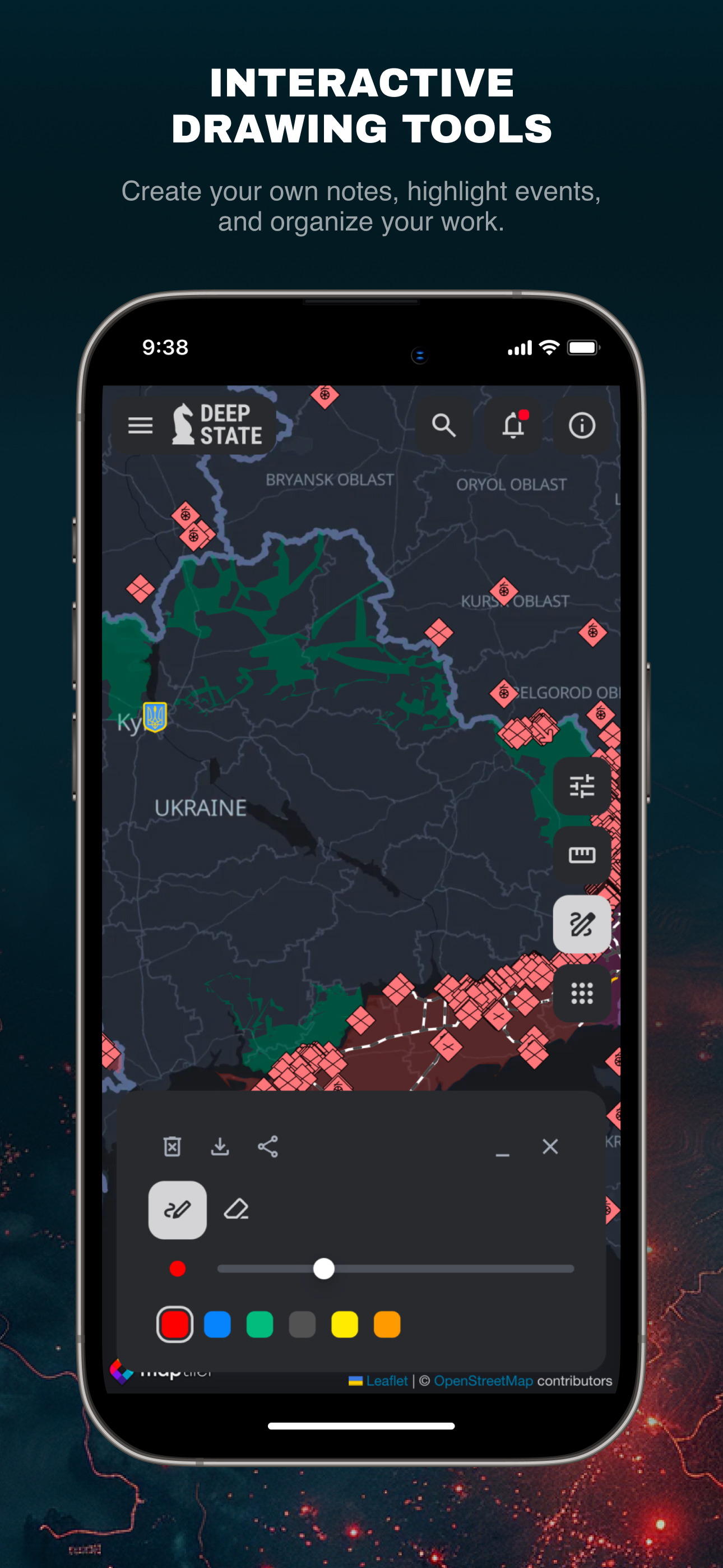
DeepStateMap.Live is an interactive online map of the hostilities in Ukraine that allows you to follow the course of military operations in the Russian-Ukrainian war, the location of units and their movements.
The application supports the possibility of caching downloaded data.
The map has symbols:
territory of Ukraine liberated from occupation in the last two weeks;
liberated territory;
territory that needs to be clarified;
territory occupied by Russian troops;
territory of the occupied Crimea and ORDLO;
territory of Transnistria;
unit;
headquarters;
airfields;
fleet;
directions of attacks.
The territory is divided into zones, which are colored accordingly, and the locations of units and airfields are marked. The site also has a news feed and the ability to measure distances between points on the map. The site allows to enable the display of fire points based on data from the NASA Firms system and compare them with the front line. A special mode makes it possible to measure the range of various artillery systems: HIMARS, M777, CAESAR, etc. along the entire front line.

Store Rank
The Store Rank is based on multiple parameters set by Google and Apple.
All Categories in
United States--
News in
United States--
Create an account to see avg.monthly downloadsContact us
DeepStateMap Ranking Stats Over Time
Similarweb's Usage Rank & Apple App Store Rank for DeepStateMap
Store Rank
Rank
DeepStateMap Ranking by Country
Counties in which DeepStateMap has the highest ranking in its main categories
No Data to Display
Top Competitors & Alternative Apps
Apps with a high probability of being used by the same users, from the same store.
Alarm Map Widget
Volodymyr Kovalchuk
UA State - war in Ukraine
Anton Herasymov
eAlert: Ukraine Air Raid Alert
Wild Pluto Sp. z o.o.
Air Raid Alert Map of Ukraine
Mykhailo Goloborodko
January 10, 2026