3月13日 的 Nautical Charts & Maps 應用程式分析

Nautical Charts & Maps
- LW Brands, LLC
- Apple App Store
- 付費
- 導航
Main Features Include:
+ NOAA Electronic Navigational Charts (ENC)
+ NOAA Weather Map Overlays
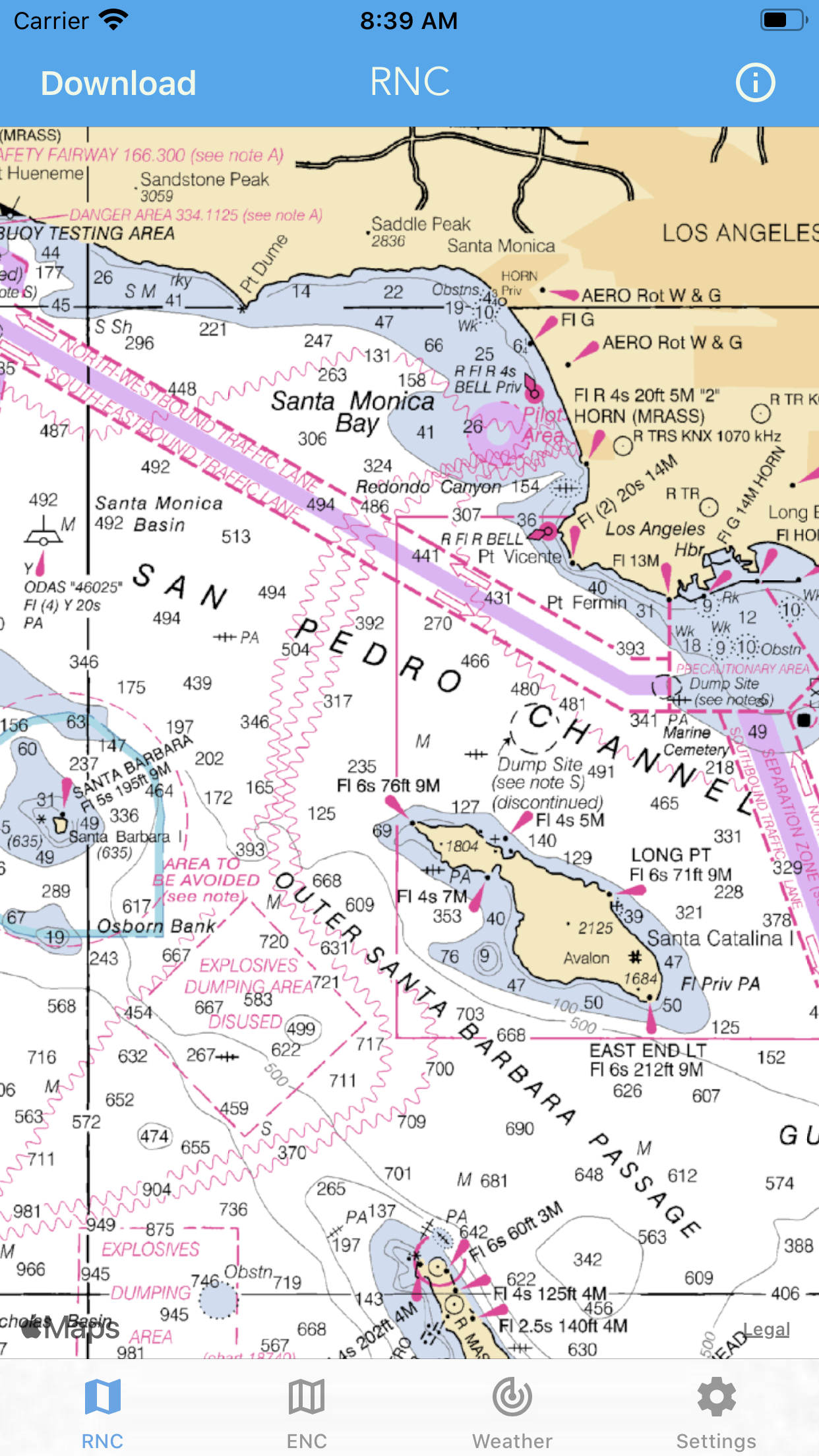
-- ELECTRONIC NAVIGATION CHARTS --
Electronic Navigational Charts (ENC) are vector data sets that support all types of marine navigation.
+ All charts are available to download for offline use
+ Chart format options include: NOAA, ECDIS
ENC charts display the following information:
+ Buoys, Beacons, Lights, Fog Signals, Radar
+ Natural and Man-Made Features
+ Services and Small Craft Facilities
+ Seabed, Obstructions, Pipelines
+ Depths, Currents
+ Port Features
+ Traffic Routes
+ Special areas
NOAA updates the ENCs for Notice to Mariners on a weekly basis. Timing of their availability is not guaranteed.
The ENC charts displayed in this app does NOT meet federal chart carriage regulations for regulated vessels.
Users should consult the Code of Federal Regulations for current federal chart carriage requirements.
-- NOAA WEATHER MAP OVERLAYS --
+ Weather Radar
+ Sea Surface Temperature
+ Significant Wave Height
+ Wind Speed & Direction
+ 12-Hour Rain Probability
+ Lightning Strike Density
+ Air Temperature
If you have any questions, please email support@lwbrandsllc.com

商店排名
商店排名基於Google和Apple設定的多個參數。
所有類別 在
美國--
導航 在
美國#58
建立帳戶即可查看平均每月下載次數聯絡我們
隨時間變化的 Nautical Charts & Maps 排名統計
Similarweb 的使用排名和Apple App StoreNautical Charts & Maps排名
商店排名
排名

3月 13, 2025