GeogIT app analytics for March 15
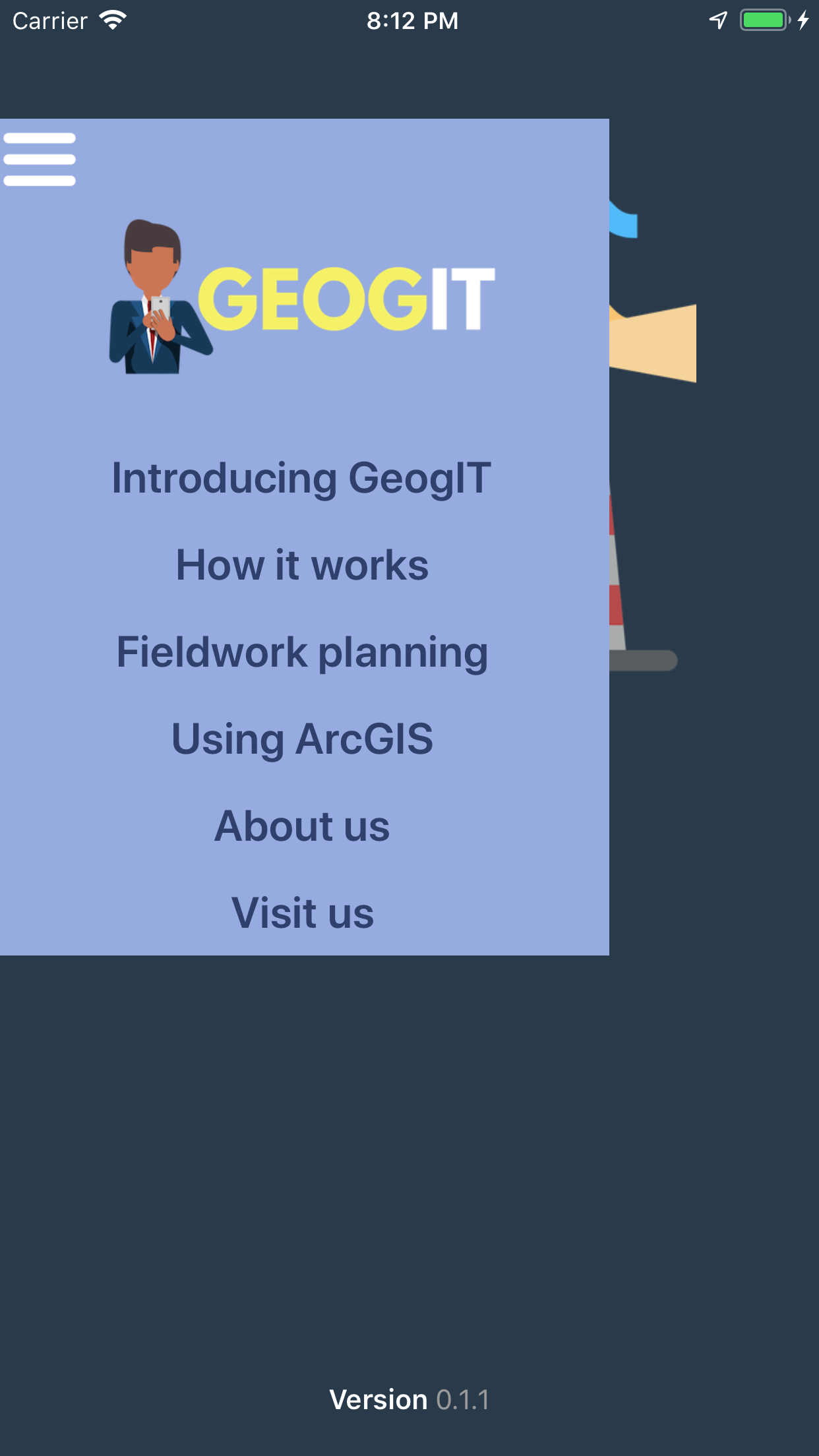
GeogIT
- C Webster
- Apple App Store
- Paid
- Education
GEOGIT has been designed to modernise fieldwork and reduce paper consumption by enabling electronic data collection of 35 different methods ranging across both physical and human geography investigations. GEOGIT uses your phones ability to log your coordinates saving not only your data but the exact location in which it was recorded.
Behind the scenes with every bit of information you log an Excel spreadsheet is being built. Upon completion of your fieldwork your data is sent to you immediately as separate Excel files. No more will data be lost as a result of a torrential downpour, a freak gust of wind or leaving the booklet on the bus … and don’t worry, if your battery dies or you close the app all of your data is automatically saved to the archives. Where you can load it up again and pick up from where you left off.
That’s not even the best of it… the files which you receive are automatically saved in a csv format enabling you to simply drag the files directly into ArcGIS and watch as your results are displayed geospatially within seconds!
GEOGIT aims to replace the outdated dependence on clipboards and paper booklets and instead allows you to electronically collect your information for 35 different methods of data collection.
METHODS INCLUDED:
- Activity mapping
- Age survey
- Beach profile
- Beach size
- Bi-polar survey
- Car age survey
- Car park mapping
- Car reg survey
- Channel depth
- Channel width
- Crime prevention
- Decibel meter
- Environmental quality survey
- Epitome words
- For sale mapping
- Gentrification mapping
- Global links survey
- Groyne height measurements
- Holiday home mapping
- Land use survey
- Locals life survey
- Longshore drift test
- Mood mapping
- Pedestrian count
- Property quality survey
- Retail mapping
- River profile
- River velocity
- Sea wall height
- Soundscaping
- Suit survey
- Tourist digs
- Vehicle count
- Wave count
- Wetted perimeter
ARCGIS READY
The data files you receive direct to your email address are saved and organised in ArcGIS ready Excel csv formats. This enables instant transfer onto ArcGIS and geolocated presentation of your data.
Store Rank
The Store Rank is based on multiple parameters set by Google and Apple.
All Categories in
United States--
Education in
United States--
Top Competitors & Alternative Apps
Apps with a high probability of being used by the same users, from the same store.
Dynamic Dunescapes
Visit Cardiff University
Harper Adams University
A-level Sociology
March 15, 2025