- Home
- Free App Analytics
- BIGEMAP
BIGEMAP app analytics for January 12
BIGEMAP
- Chengdu Bigetu Data Processing Co., Ltd.
- Apple App Store
- Free
- Navigation
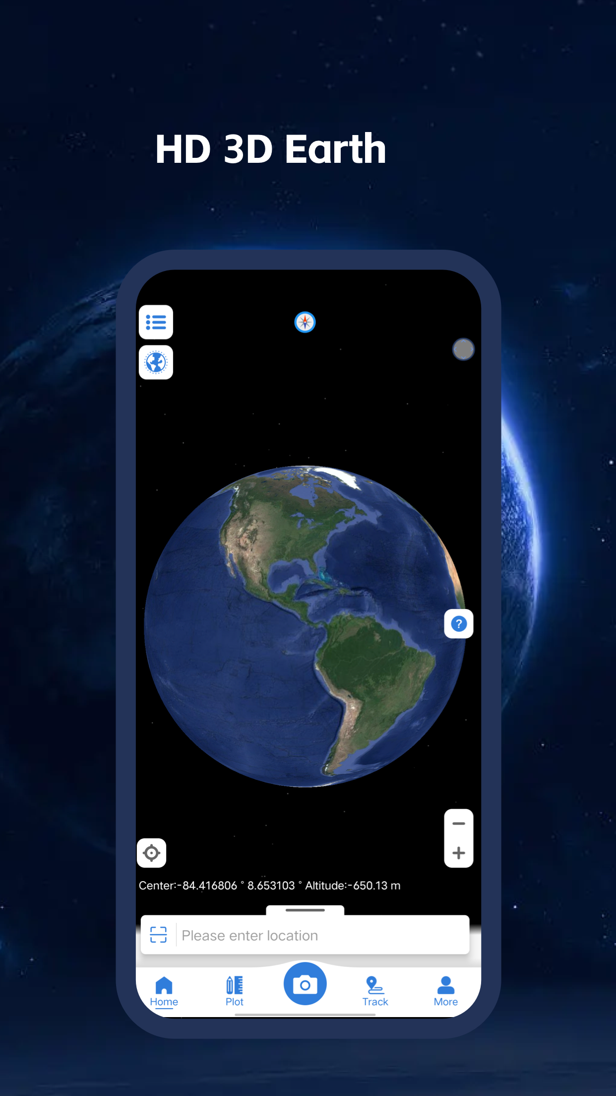
Bigemap is a powerful mobile GIS data collecting & processing mobile app, it can be either used for proffesional filed work (field mapping, land surveying, Vegetation management, Forestry planning, Environmental management, Incident reporting, Mine management,Farm mapping, Utility mapping, Government planning, Asset management)
or enthusiastic fan in hiking, fishing, mountain biking, sailing .
People choose bigemap becuase it can not only work independently but also can be integrated with popular desktop tools like ESRI ArcGIS, QGIS, AutoCAD, google earth pro and bigemap's desktop. Bigemap adheres easy-use concept for customer and also keep improving the powerful functionality as below :
●GIS Data Collection
• Obtain Latitude Longitude, UTM, MGRS (WGS84) & other CRS (using EPSG codes) in real time, register points complete with coordinate data, time taken, notes/labels, elevation (DEM), addresses, photos etc
• Import/ Export point, Line, polygon, features into layer from KML/KMZ, GPX, DXF, SHP, TXT, CSV
• Areas, distances calculation
●Route planning & Recording
• Plotting a route point by point using one or multiple navigation profiles;
• Route recording using GPX tracks;
• Manage GPX tracks: displaying your own or imported GPX tracks on the map, navigating through them;
• Visual data about the route - descents/ascents, distances;
• Ability to share GPX track with friends;
●Online & Offline Maps support:
• Wide range of maps both for online(OSM, google map, mapbox..) and offline usage
• Download vector, raster data as well as high Resolution satellite images when work without internet
• Share your data with friends, store locally and cloud strorage
●3D Earth support:
• Using DEM and OSM(open street map) building outline data to bring Google earth similliar experience for 3D display
• Record or import your data and replay them in 3D
• Exaggerate partially for clear visualization 3D mountains , seabed, City buildings
●Other unique functions :
• Waremark Camera for photo taken with unchangeable location, time , weather conditions, indendity and company profile , template is also supported
• longitudinal & transverse section display
• Batch photo export with name formating and data information indexed in CSV .
• Persnalized plotting icon and map style
[BIGEMAP Subscription Package Description]
Subscription period: One month - Subscription price: $3 per month
Payment: The user confirms the purchase and credits the iTunes account with the payment
Cancel Renewal: To cancel renewal, manually turn off automatic renewal in iTunes/Apple ID Settings Management 24 hours before the current subscription expires
Renewal: The Apple iTunes account will be charged within 24 hours before the expiration date, and the subscription period will be extended by one month after the payment is successful
Privacy policy: http://www.mygisoffice.com/app/copyright_ios.html?_tt=0.9525667450671143
Subscription agreement:http://www.mygisoffice.com/app/agree_ios.html?_tt=0.9525667450671143

Store Rank
The Store Rank is based on multiple parameters set by Google and Apple.
All Categories in
United States--
Navigation in
United States--
Create an account to see avg.monthly downloadsContact us
BIGEMAP Ranking Stats Over Time
Similarweb's Usage Rank & Apple App Store Rank for BIGEMAP
Rank
No Data Available
BIGEMAP Ranking by Country
Counties in which BIGEMAP has the highest ranking in its main categories
No Data to Display
Top Competitors & Alternative Apps
Apps with a high probability of being used by the same users, from the same store.
Street View Map: Near by Tour
Kaneki Ken
Globe Planet 3D - Earth Map
Anna Vilmas
MyGIS
3B Soft srls
Globe Earth 3D - Live Map
Nalin Savaliya
January 12, 2025