- Home
- Free App Analytics
- 防災リスマ - 災害リスク・ハザードマップ
防災リスマ - 災害リスク・ハザードマップ app analytics for January 4
防災リスマ - 災害リスク・ハザードマップ
- Keishi Ishimura
- Apple App Store
- Free
- Weather
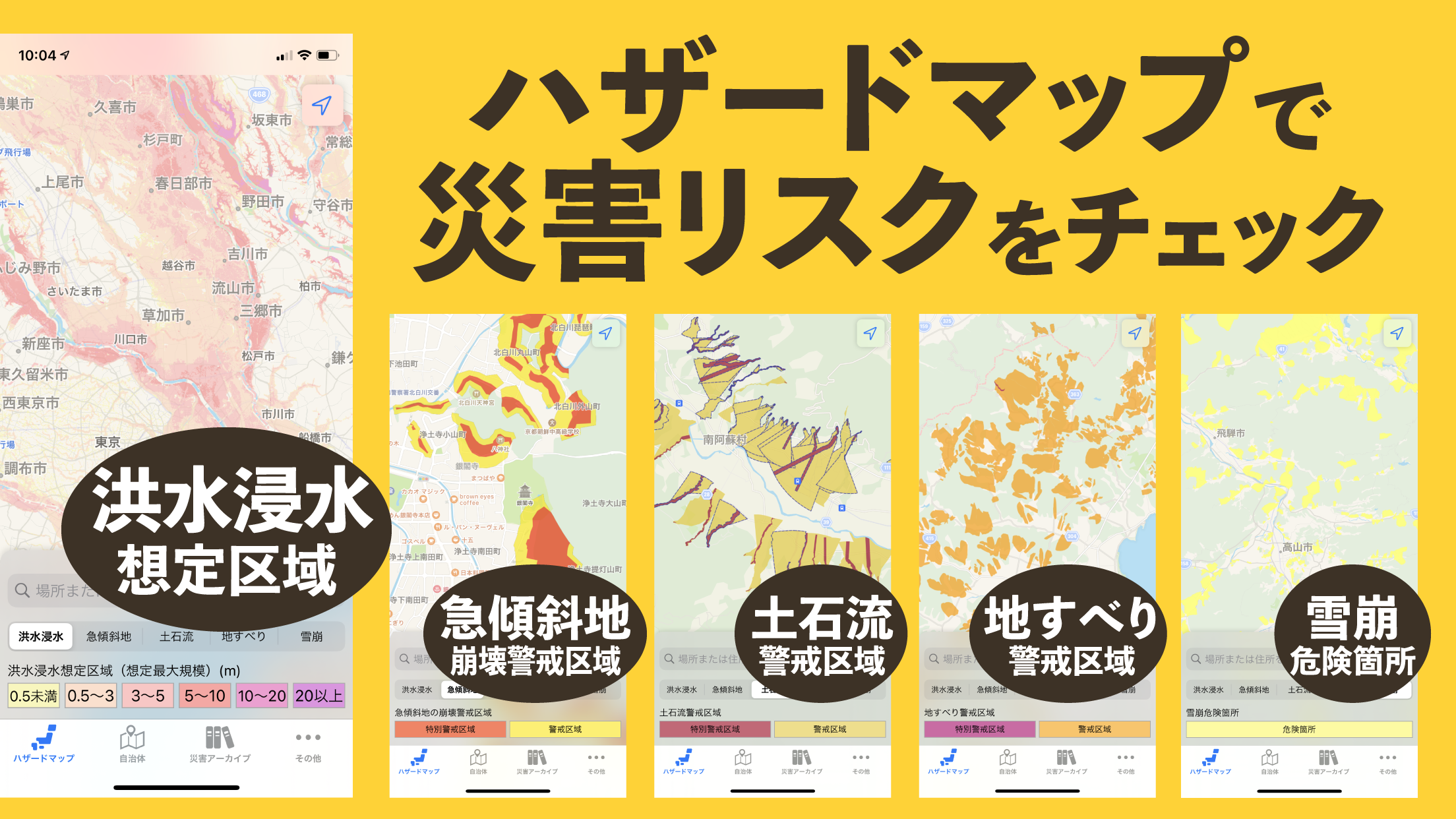
洪水・土砂災害の防災に便利なハザードマップです。
・洪水浸水想定区域(想定最大規模) ※1
・急傾斜地の崩壊警戒区域
・土石流警戒区域
・地すべり警戒区域
・雪崩危険箇所 ※2
・災害アーカイブ(災害当時の正射画像など)
全国自治体発行の詳細なハザードマップへのリンクを搭載。
自治体が公開しているハザードマップに簡単に最短でアクセスできます。
※1 国管理河川448河川、都道府県管理河川1598河川、その他河川3666河川
※2 青森県、岩手県、秋田県、山形県、栃木県、新潟県、富山県、石川県、福井県、山梨県、岐阜県、静岡県、滋賀県、兵庫県、島根県、広島県
データの出典
・ハザードマップポータルサイト
https://disaportal.gsi.go.jp/hazardmap/copyright/opendata.html
・国土地理院
https://maps.gsi.go.jp/development/ichiran.html
利用規約
https://hazard-maps-16ad5.firebaseapp.com/termsofuse/index.html

Store Rank
The Store Rank is based on multiple parameters set by Google and Apple.
All Categories in
United States--
Weather in
United States--
Create an account to see avg.monthly downloadsContact us
防災リスマ - 災害リスク・ハザードマップ Ranking Stats Over Time
Similarweb's Usage Rank & Apple App Store Rank for 防災リスマ - 災害リスク・ハザードマップ
Rank
No Data Available
防災リスマ - 災害リスク・ハザードマップ Ranking by Country
Counties in which 防災リスマ - 災害リスク・ハザードマップ has the highest ranking in its main categories
No Data to Display
Top Competitors & Alternative Apps
Apps with a high probability of being used by the same users, from the same store.
全国避難所ガイド
1st Media Corporation
河川カメラ - River
hidehiko aihara
河川カメラ
hidehiko aihara
地震 津波の会
Weathernews Inc.
January 4, 2025