Sie haben Ihr Suchlimit erreicht
Starten Sie Ihren kostenlosen Testzugang, um weiterhin alle Traffic- und Performance-Insights zu erkunden.
Los geht'sOutdoor Navigation ape@map App-Analysen für 21. Mai
Outdoor Navigation ape@map
- Onyx Technologie OG
- Apple App Store
- Kostenlos
- Navigation
Outdoor and Hiking Navigation
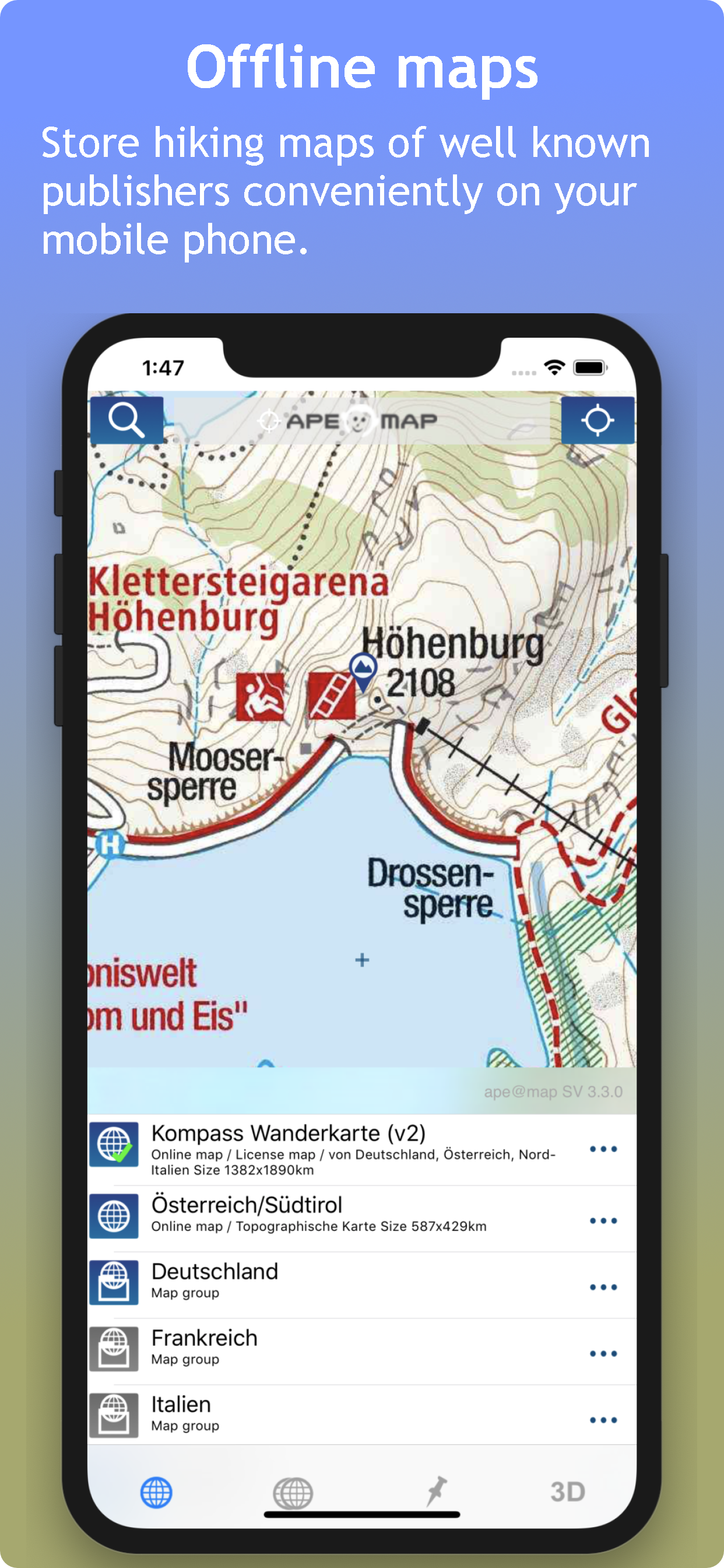
ape@map 3D Outdoor-Navigation for hiking-maps, offline capable.
GPS navigation with more than 70,000 tours and help call (with SMS), PC planning software for maps of leading card manufacturers and interfaces to DVDs:
- Compass Maps (Switzerland, Austria, Canary Islands, Balearic Islands, Bavaria, Lake Garda, South Tyrol, ...), AMAP Austria,
- TOP 50 Germany,
- SwissMap,
- DAV & PES
- TouratechQV (Worldwide)
- Free OSM - Maps.
- First and real SRTM 3D display alongside Google Earth.
More than 70,000 tours (biking, hiking, skiing) from our partners gps tour.info, alpintouren.at and geo-coaching.net with reviews / height model / text / images COMPASS TOP50 maps and cards. The map coverage of the tour services currently affects South Tyrol, Austria and Germany and is constantly expanding.
ape@map works even without mobile network.
Please contact support@apemap.com for further questions or error reports.
Only then will we have a chance to help.
(Note: We are a certified company of VeriSign, more at https://lic.apemap.at)
Rang speichern
Der Store-Rang basiert auf mehreren Parametern, die von Google und Apple festgelegt wurden.
Alle Kategorien in
Vereinigte Staaten--
Navigation in
Vereinigte Staaten--
Top-Wettbewerber und alternative Apps
Apps mit hoher Wahrscheinlichkeit, von denselben Benutzer:innen aus demselben Store verwendet zu werden.
alpenvereinaktiv
Relief Maps : backcountry gps
Topo GPS - Topographic maps
Outmap: Ski & Snowboard Maps
Mai 21, 2026